Professional
Head of the Office for Information Society Development Monitoring
Wilaya Directorate of Post and Telecommunications
- Oversaw the implementation and monitoring of the "ORSEC" Plans
(Emergency Organization Plans) for disaster response. - Managed the cartographic representation of sector-related data.
- Supervised projects related to the development of the information society.
Sector Information on the Map
This map was created to showcase the PT sector using Python libraries like GeoPandas. It features multiple layers, each representing a specific operator (AP, AT, ATM, Mobilis, Djezzy, etc.).
By default, the layers are turned off. To access details about a specific sector, simply enable the corresponding layer.
Discover how geographic mapping is utilized to visualize data and make informed decisions. Click on
View Map to explore sector details, or select
How to Code to learn the techniques behind creating interactive maps.
Honors & Awards
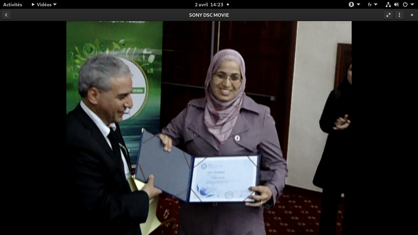
ICDL Certification (International Computer Driving License)
Awarded first place at the national level in the International Computer Driving License (ICDL) competition. This achievement highlights excellence in computer literacy, problem-solving, and technological expertise, showcasing a commitment to digital proficiency. The award ceremony took place on December 4, 2010.
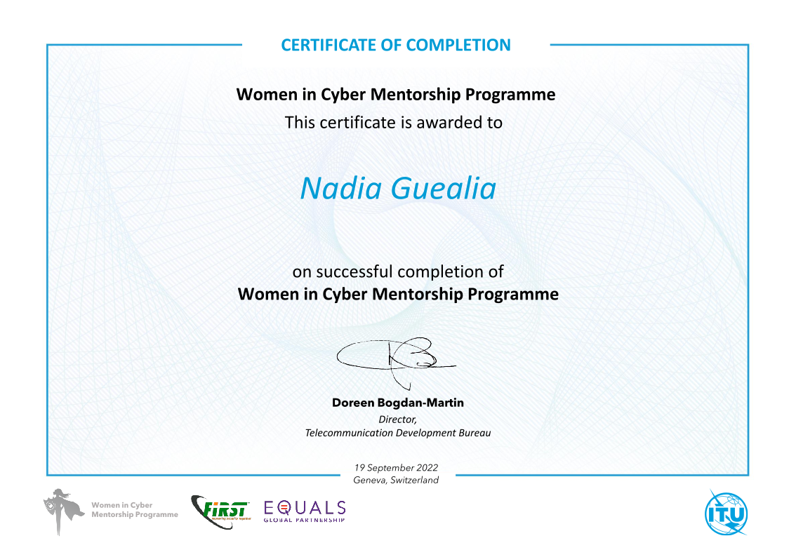
ITU Certification
ITU Women in Cyber Mentorship Programme
Engaged in a prestigious global mentorship program organized by the International Telecommunication Union (ITU). This initiative connects talented women with leading cybersecurity experts across Africa, the Arab region, and Asia-Pacific, fostering skill development, knowledge sharing, and empowerment in the cybersecurity domain.
Courses
I have been an Assistant and part-time lecturer at Bouira University's Computer Science Department since February 2023. I lead undergraduate lab sessions and lectures on Operating Systems 1 & 2 and Geographic Information Systems. Below, you can find links to course materials designed to enhance learning through hands-on practice and detailed explanations.
-
Operating Systems 1
Dive into system programming with C on Linux, exploring the fundamentals of a robust open-source operating system.
-
Operating Systems 2
Master parallel programming, synchronization, and thread communication techniques in a Linux environment.
-
Geographic Information Systems
Discover how to create, manage, analyze, and visualize data by connecting it to maps with GIS technology.